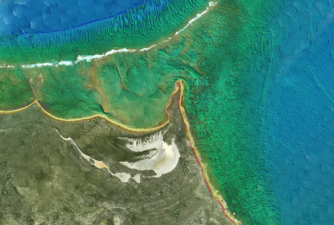
Fugro has been awarded a significant contract by the National Oceanic and Atmospheric Administration (NOAA) to perform hydrographic surveying operations. The project will cover an area of 3,200 square kilometers along the Atlantic coast of Florida. The primary objective of these surveys is to gather essential data that will be used to improve the accuracy and currency of nautical charts, thereby bolstering maritime safety in the region.
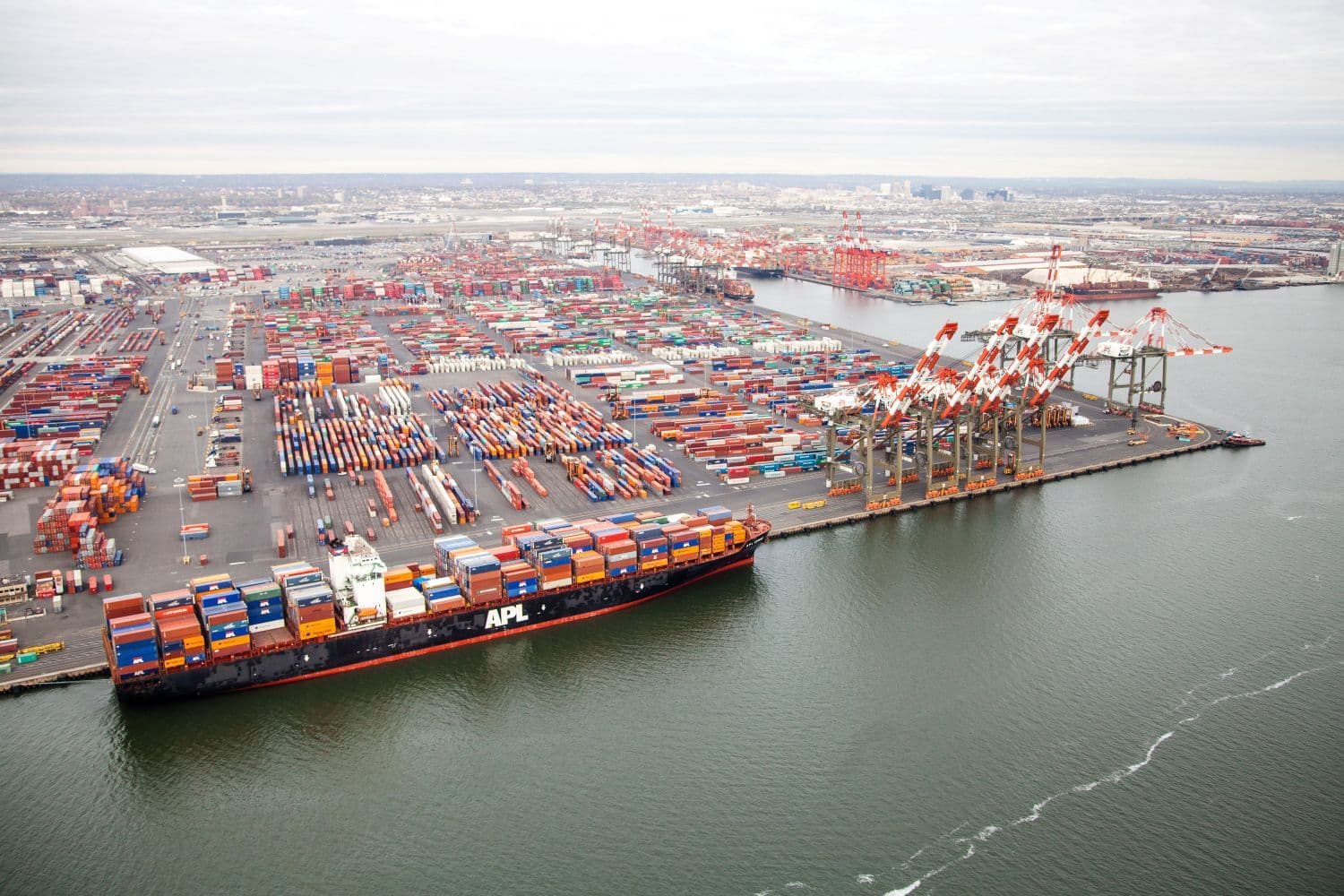
This contract is crucial for maintaining the integrity of navigation routes, particularly for commercial shipping. By providing updated hydrographic information, the project directly supports the safe passage of vessels through critical coastal waterways and busy maritime corridors. For freight forwarders and operations managers, this means improved reliability of navigation data, potentially reducing risks associated with outdated charts and contributing to more efficient vessel scheduling in a key US coastal area.